বাংলা
 English
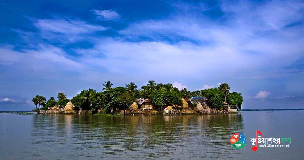
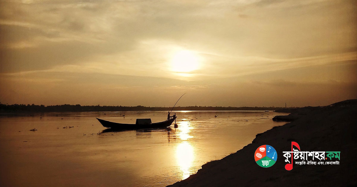
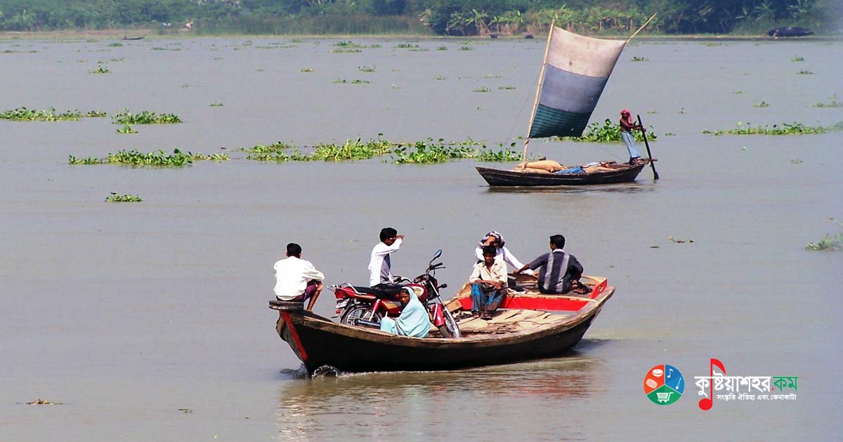
Chalan Beel is a large beel in northern Bangladesh. It spreads across the Rajshahi, Natore, Sirajganj and Pabna districts. Forty-seven rivers and other waterways flow through the Chalan Beel. Silt accumulates in the beel, and its size is shrinking.
Chalan Beel is the largest wetland region of Bangladesh. Nine thanas of the three districts of Natore, Sirajganj and Pabna together make up the location of the Chalan Beel. Singra, Gurudaspur and Baraigram of Natore; Raiganj, Ullapara (partial) and the newly formed Salanga of Sirajganj; and the thana areas of Bhangura and Chatmohar of Pabna district are presently called the Chalan Beel region. To the north of the Chalan Beel is the boundary of Bogra district, to the south the Atgharia and Ishwardi thanas of Pabna district, to the east the Ullapara-Sirajganj railway line, and to the west the Atrai and Raninagar thanas of Naogaon district. The Roktodaha beel of Paril union of Raninagar thana was once part of the Chalan Beel. At present it marks the northwestern limit of the Chalan Beel.
The formation of the Chalan Beel is historically related to the contraction of the Atrai and Baral rivers. The Atrai river was the chief feeder system of the Chalan Beel, which drained the water of the northern part of the greater Rajshahi district and the Dinajpur area. The Baral acts as an outlet from the Chalan Beel and carries the beel's water into the Yamuna river. Several rivers flow through the Chalan Beel. Notable among them are the Karatoa, Atrai, Gur, Baral, Mara Baral, Tulsi, Bhadai, Chikanai, Baronja, Telkupi and so on.
Sardar Abdul Hamid discussed the naming of the Chalan Beel at length in his 'History of the Chalan Beel' (Chalanbiler Itikatha). There the mention of the Chola sea appears in connection with the naming of the Chalan Beel. Quite a few small and large rivers were connected with this low-lying area of the Chalan Beel. Because of the interconnection of rivers, the water of the Chalan Beel was always in motion. Ancient Indian history records that in ancient times there was a Chola royal dynasty and a Chola sea or Chola lake in the Orissa region. Hence it is thought that the Chalan Beel could also be named after the Chola dynasty or the Chola beel.
At present the Chalan Beel has become much smaller, but in the rainy season the beel assumes a fierce form. The rivers, canals, jolas and khals bind the Chalan Beel in such a way that naturally in the rainy season there is a current in its waters. It is thought that it is because of the movement of this current that the beel was named Chalan Beel.
At the time of its formation the area of the Chalan Beel was about 1,088 square kilometers. At present its area has come down considerably. The area of the Chalan Beel is 500 square miles or about 1,424 square kilometers. Again, according to some survey the area of the Chalan Beel is 800 square miles or about 2,072 kilometers. Its length east-west is 32 miles and its width north-south is 24.5 miles. At present the Chalan Beel has shrunk considerably and its area now stands at 1,150 square kilometers. As far as is known, not only in Bangladesh but in the whole Indo-Pak subcontinent there is no other beel as large as the Chalan Beel.
The Beels
In fact the Chalan Beel is an assemblage of many small beels. The small beels that make up the Chalan Beel, from west to east, are in order:
- Purba Madhyanagar
- Piprul
- Dangapara
- Laror
- Tajpur
- Niyala
- Chalan
- Majhgaon
- Briyasho
- Chonmohon
- Shatail
- Khordaha
- Darikushi
- Kajipara
- Gajna
- Bara Beel
- Sonapatila
- Ghughudaha
- Kurlia
- Chirl
- Dikshibeel and
- Gurka
Most of the larger beels are located in Pabna district, such as the Gajna beel, the Bara Beel, the Sonapatila beel, Ghughudaha, the Chirl beel and the Gurka beel. The Gajna beel lies south of Dulai, covering an area of 123 square km. The area of the Bara Beel is 31 square km. The Sonapatila beel, with an area of about 35 square km, spreads over the northern part of Pabna district. In Chatmohar upazila, Kurlia and Dikshibeel cover areas of 18 and 15 square km respectively. The Chirl and Gurka beels each have an area of 8 square km, and Ghughudaha 4 square km.