বাংলা
 English
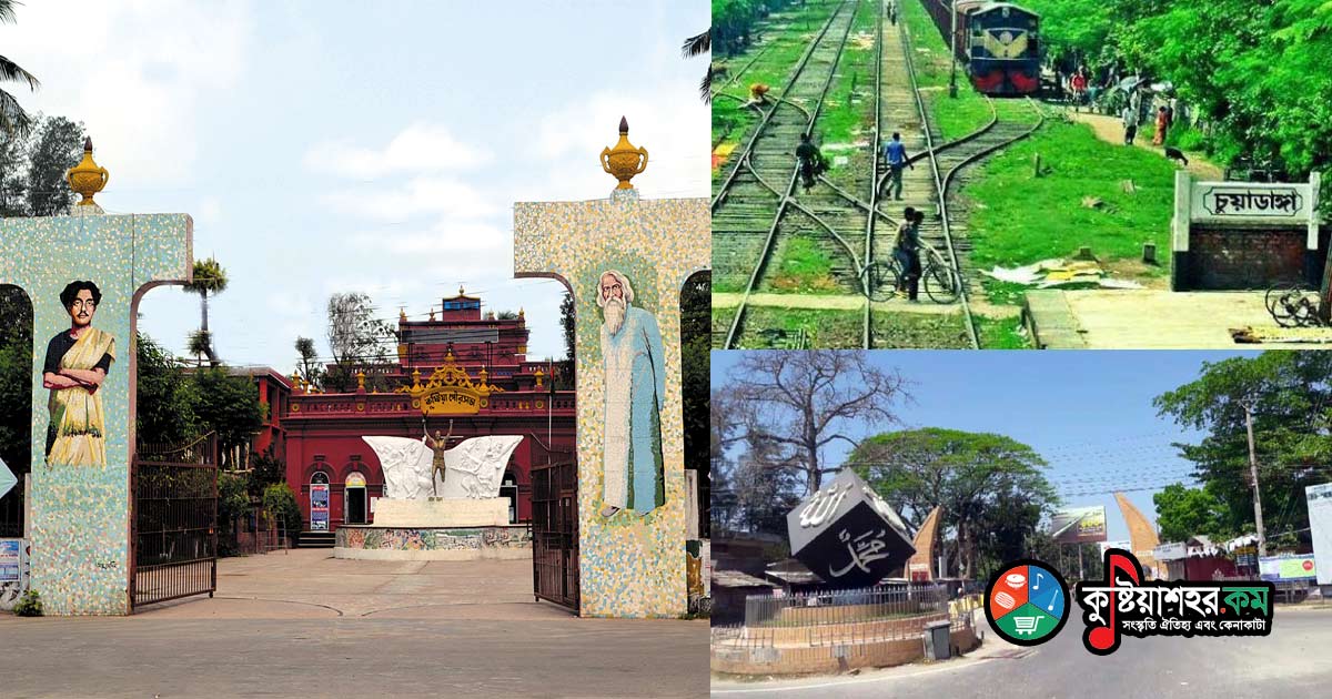
At the time of the partition of the country in 1947, Kushtia - as a Muslim-majority area - became part of the then East Pakistan. Under undivided British rule, the Kushtia tract had been part of Nadia district of the Presidency Division. On 7 August 1947, from among the five subdivisions of undivided Nadia district, Kushtia district was born, made up of Kushtia, Chuadanga and Meherpur.
At first the newly formed district was named 'Nadia' after the original district, while the part of Nadia that remained in West Bengal was named 'Nabadwip' district. But when this created administrative complications, the first District Magistrate, Syed Murtaza Ali, changed the name of the part placed in East Pakistan from 'Nadia district' to Kushtia; at the same time the West Bengal part, instead of 'Nabadwip district', was given back its earlier name, 'Nadia'. The last District Magistrate of undivided Nadia was A. M. Nasir Uddin.
The earlier name was 'Nabadwip' and the later one 'Nadia'. A proverb, or current saying, exists about this naming. In the distant past, Tantric sages and ritual priests lived on this island; as they performed their Tantric yoga-devotions lighting nine lamps (diya), the place came to be known as Noya-diya, or Nadia, or Nabodip (diya meaning lamp). Another traditional account holds that since this tract was formed of nine islands, its name evolved thus: N'dwip > Nadwip > Nabodipa > Nadia.
At one time Kushtia was a riverside settlement and river port of Kumarkhali subdivision of Pabna district. In 1862, however, Kushtia formally became a subdivision and administrative work began. Two years earlier, in 1860, at an indigo planters' assembly in Pabna, the conversion of Kushtia into a subdivision was announced. John Peter Grant, Lieutenant Governor of Bengal, made this announcement. Before that, of course, Kushtia had attained the status of a 'thana', with its police station at Majampur. This thana was created in 1859, while under Pabna. Before that, in 1823 it had been a tract of Jessore and in 1828 of Pabna.
A place name called 'Kakbandal' can be traced; scant evidence suggests this was Kushtia's earliest name. But there is no clear information about this ancient 'Kakbandal'. No clear-cut background on the naming of Kushtia district can be known with certainty, nor can any mouza named 'Kushtia' be traced. What is now Kushtia, or Kushtia town, is in fact the Kushtia of a new era - what time has made Kushtia, or the shifted 'Kushtia'. A village called 'Puratan Kushtia' (Old Kushtia) still exists. Across the Gorai river from the present Kushtia town lies Haripur; heading from Haripur towards Pabna, right on this side of the Padma, is the village of Puratan Kushtia - with a small part of Kushtia on the far bank of the Padma, and then Pabna. Before New Kushtia, or the present Kushtia, came into being, it is easy to surmise that this Puratan Kushtia itself was 'Kushtia'.
The more accepted view is that the name 'Kushtia' derives from the name of that village, and that the word 'Kushtia' comes from 'kushta'. Jute - Bengal's golden fibre - is called kushta or kushte in the regional speech of this area. Once, and even now, a significant quantity of jute, or kushta, is grown in Kushtia.
'This day too shall pass;
she who braids her hair with kushta
will also get her rice.'
The region's folk rhyme gives a picture of the ready availability, or abundance, of kushta. The 'jute-stick hat' near Porojadah also testifies that once vast quantities of jute grew in this region. In the following verse of the Chandimangal of Mukundaram, the sixteenth-century poet, a reference to Kushtia (Kucha Nagar) is found:
Sailing down the Gorai river, ever remembering the Creator,
he arrived at that place.
Darukeshwar, the tree, received the mountain of offerings,
Gangadas was of great benefit to Kaila.
Narayan, Parashar, Damodar passed by,
arriving at Kuchatta Nagar.
'Kustee' finds mention in Hamilton's 'Indigo Gazetteer', published in 1820. According to Syed Murtaza Ali, the word Kushtia comes from the Persian word kushtah (meaning ash-island) or kusta. Some think the name Kushtia > Kushtia could also derive from the game of 'kusti'. But this last argument or conjecture can be said to be weak, unsupported by history or proto-culture. At one time there was even a proposal to change Kushtia's name to 'Lalon Shahi district'. In 1962 Maulana Mejbahur Rahman protested against the proposal, and a pamphlet on the matter was distributed too. It is believed that in the time of Nawab Murshid Quli Khan (c. 1665-1727) the Kushtia area was named 'Gopinathabad' (there is a Gopinath temple in the district). S. M. Shawkat Ali wrote in his book History of Kushtia:
-- The true history of the naming of Kushtia cannot be known. In the present Kushtia there is no mouza of this name. The town stands on the Bahadurkhali and Majampur mouzas. About two miles away, at the west-northwest corner across the river's northern bank, lies the village of Puratan Kushtia. Seeing the traces of an old brick road in that village, one feels that was the real Kushtia. Over two hundred years ago, when the current of the Padma flowed towards the Gorai, it cut off the said Puratan Kushtia village from the present one. Later the river shifted north and flowed in a different course, leaving behind a bend. After more than a hundred years, the Goraini still flows on from the mouth of the Dakdaha. In Hamilton's 'Indigo Gazetteer', published in 1810, this place finds mention under the spelling 'Kustee' or Kushti. Local people still call Kushtia 'Kuiste' or Kushte. Syed Murtaza Ali wrote: 'The word Kushtia comes from the Persian kusht or kusta. The naming may derive from koshta, or jute.'
Observing the ancient spelling of the word Kushtia, it is held that the word came from kashta or 'kusti' (wrestling), or from the Persian kusta. But the spellings and pronunciations 'Kushte' (Kustee) or Kushtia (Kustea, Kushtia) came from kushta or the kusti game. Jute once grew abundantly in this district, and again kusti was an extremely popular game, some instances of which are still found. It is said that in the time of Nawab Murshid Quli Khan (c. 1665-30.6.1727) Kushtia's name was Gopinathabad. At that time the place belonged to the zamindari of Agradwip Patuli. It is said that every year at the rath fair of Gopinath Jiu more than a hundred thousand people would gather, and under the pressure of the excessive crowds many people, crushed underfoot, died. Enraged by this, the Nawab granted the zamindari area to the Raja of Krishnanagar. The Raja of Krishnanagar, donating many neighbouring villages to the service of Gopinath Jiu, named the place Gopinathabad.
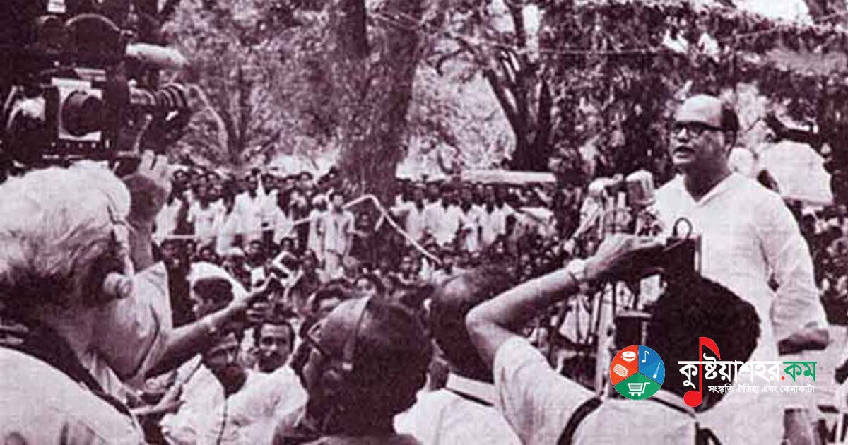
It is to be noted that Kushtia grew up as a river port and naval anchorage in the time of Emperor Shah Jahan (1592-1666), and it became known as a river port of Kumarkhali in the days of the British East India Company. Behind the rise of Kushtia town, the commercial needs of the indigo planters acted as the main cause. In 1860 the making of Kushtia a subdivision was announced. In 1862 the tract formally became a subdivision. In 1947 it became a district. And on 10 March 1971, at Baidyanathtala of Bhaber Para in Meherpur, a subdivision of the district, the revolutionary Government of independent Bangladesh was formed, and that place was named 'Mujibnagar'.
Chuadanga is one of the border districts of Bangladesh. More than one tradition can be observed about the naming of this district. From the oral tradition handed down by word of mouth one learns that around 1740 one Chungo Mallik, with his family, came to this region from the village Itebari Maharajpur on the Nadia border of Murshidabad district in India, by the Mathabhanga river route - he being the founding ancestor of the Mallik lineage. Since this Chungo Mallik first settled here, the tract was named after him 'Chungodanga'. It is the area lying between the Mathabhanga and Naboganga rivers. In the land records of 1797, the place is mentioned by the name 'Chungodanga' (Chungodanga). Another piece of information related to this discussion is that once a powerful man named 'Chunga Mallik' lived here, and from his name the usage Chungadanga > Chungadanga > Chuadanga came about.
A somewhat different form of legend is current about the origin of the word Chuadanga from Chungodanga, from the name of Chungo Mallik. It is said that the man was not 'Chungo Mallik' but rather named 'Chua Mallik'. He was a herdsman. This Chua Mallik was caught stealing the deer of Nawab Alivardi Khan. For this offence he was banished with his family from Murshidabad. He then came to this region and settled first, and the area was named 'Chuadanga' after him. Or, whatever his name, he came in exile and cleared the jungle of the area (chua, meaning to clear) and settled it, and so the area came to be called Chuadanga, or cleared land.
Some hold that when the original Persian pronunciation was written in English, its nasal N was lost, and Chungadanga > Chuadanga finally settled as 'Chuadanga'. It is to be noted that by local habit the older people - even some of the newer ones - affectionately call this district Chungadanga or Chunodanga.
Another popular folk belief is that locally the word 'chua' means clean. As someone cleared, or chua-ed, the jungle to settle here, the area began to be marked by the name 'Chuadanga'.
Again there is also a current saying that the pronunciation of 'chua', a corruption of the Hindi word 'chuhah', prevails here. Throughout the greater Kushtia region the word 'chua' means 'mouse'. As this river-girt place was high and thus ever free from the scourge of monsoon floods, there existed here an abundance of chua, or mice. For this reason the area's name became Chuhadanga > Chuadanga. It is said that seeing this multitude of mice, the first settler Chunga Mallik surmised that this lowland region was elevated ground, not submerged in flood and inundation; it was on this consideration that he was encouraged to settle here.
Locally the corrupted pronunciation of chua, 'chaya', also means clean or tilled land. From this chaya, via Chayadanga, the word 'Chuadanga' may have come in the course of time through corruption of pronunciation.
Chuadanga's first sadar office was at Damurhuda. In 1862 the sadar subdivision moved to Chuadanga. In 1892 Chuadanga was joined with Meherpur, and in 1897 separated again. In 1903, though a proposal to abolish the Chuadanga subdivision was raised, it was not carried out. As a result of the partition of the country in 1947, Chuadanga became a subdivision of Kushtia district. In 1984 this subdivision attained the status of a district.
The first sunrise of the Government of independent Bangladesh took place in Meherpur, on 10 April 1971. Meherpur was then a subdivision of Kushtia district. Several conjectures or possibilities are current about the naming of this district.
It is surmised that the district of Meherpur was named after a certain dervish, Meher Ali. It is said that to preach Islam, in the sixteenth century (according to others, in the closing part of the fifteenth century), Shah Bhalai, Shah Alai, Ayek Ullah and several other venerable men came to this region. Immersed in deep meditation here, these spiritually powerful preachers received the proximity of the departed soul of the dervish Meher Ali. They then named the area Meherpur after this dervish Meher Ali. But nothing is known of what this place was called before. Some say that the dervish Shah Bhalai was in fact the dervish Meher Ali - Bhalai being his pet or common name - and that Meherpur was named after him. From the above current view it can easily be surmised that Meher Ali did not exist before the sixteenth or fifteenth century. But one also finds the opinion that at that time there lived a popular social worker named Meherullah Shah, after whom the tract was named Meherpur.
Another legend holds that the one after whom this name Meherpur was given is the famous social reformer and saintly figure Munshi Meherullah.
On the other hand, Amiya Bhushan, in his travel book on Bengal, noted that Mihir and his wife Khana lived in this area, and that the name 'Mihirpur' arose from the name of this Mihir - later, through the succession of pronunciation, it took the form 'Meherpur'. Legend as it is, on that premise one learns just this much: Khana and her husband Mihir lived at Barasat in the 24 Parganas district of West Bengal; their village was called 'Deuli'. In this assessment, and for lack of reasoned, supportable information, there is naturally ample room for controversy. In the end, whether Mihir and Khana lived in the Meherpur region or not remains open. Some even say that Khana is essentially a fictional character - that 'Khana' really refers to the abiding moment or time, and 'Khana's sayings' to the common verse or sloka current among the people.
During undivided India under British rule, Meherpur belonged to Nadia district. When the country was partitioned in 1947, it was cut off from Nadia and brought under Kushtia. At that time the two thanas of Meherpur and Gangni received administrative attachment to the Chuadanga subdivision. In 1951 these two thanas of Meherpur and Gangni were separated from Chuadanga and the Meherpur subdivision was created. Thirty-three years later, in 1984, the Meherpur subdivision was established with the status of a full district.
Reference:- Bangladesher Jela: Namkoroner Itihas (Districts of Bangladesh: The History of Naming). Bilu Kabir; publisher Sikdar Abul Bashar, Gotidhara, 38/2-Ka Banglabazar, Dhaka 1100, April 2010, pages 221-230
Bilu Kabir: the editor of this book.